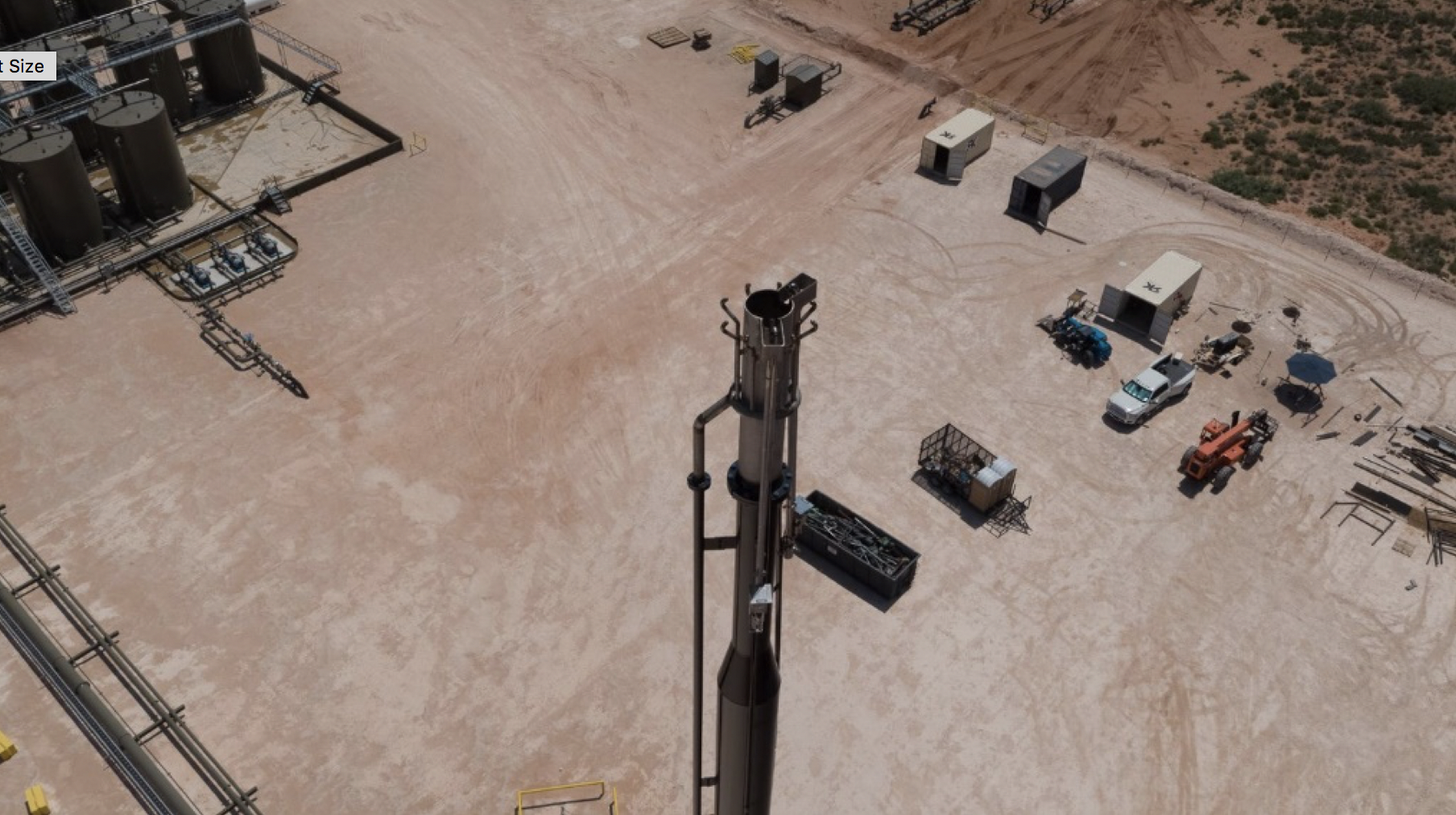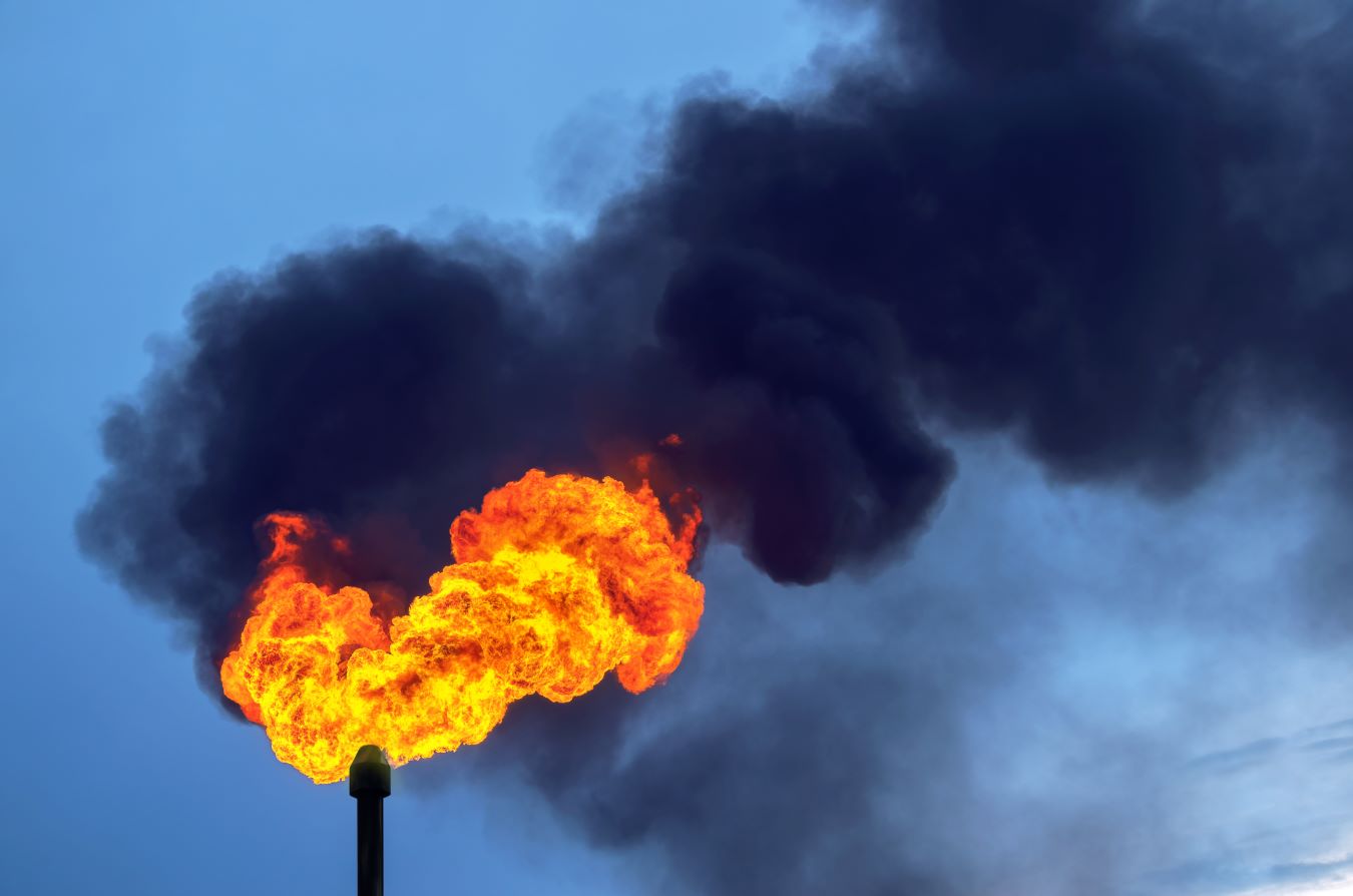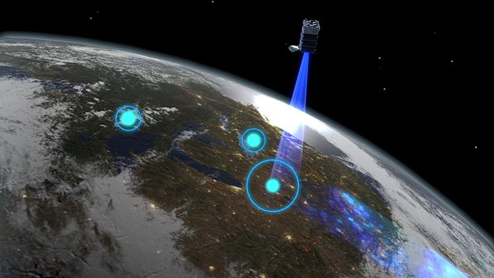
Satellite monitoringRemote sensing using satellite technology is emerging as a powerful tool for investigating methane emissions of all kinds. Where a large number of flares are operated over wide or inaccessible… Learn more… can be used to monitor for flares with higher than normal methane emissions. Several technologies are now available, and further systems and services are being launched in the coming years.
The technology can be broadly classed in to two types of activity:
There are advantages and challenges associated with both technologies. Both require additional information – such as visible imagery or thermal data (VIIRS) to differentiate flaring from other potential sources of methane, such as venting.
This entry focuses on directed measurements where the satellite is measuring the spectral signature of methane. It is different to technologies that infer methane emissions from other data sources such as the thermal signature (see VIIRS)
In addition to satellite operators, there are a growing number of service organisations that will process publicly available or privately sourced data and use analytics to give insights to an operator.
Advantages
Global coverage provides an overview of changes in flaring – allowing regional trends to be measured
Publicly accessible data provides an independent view of changes to flaring
Limitations
Multi-spectral imaging is dependent upon daylight and cloud-free cover for the location of interest. In some parts of the world, cloud free days are rare
Quantification is dependent upon additional information, such as wind speed
Measurements conducted over water, ice or snow are subject to light reflection, which impairs data accuracy. Work is ongoing to develop specialised ‘glint mode’ analytics to provide improved data over water
Swath size dictates the number of targets viewable within a defined period
Go Deeper
Case study
Daniel J. Jacob et al.
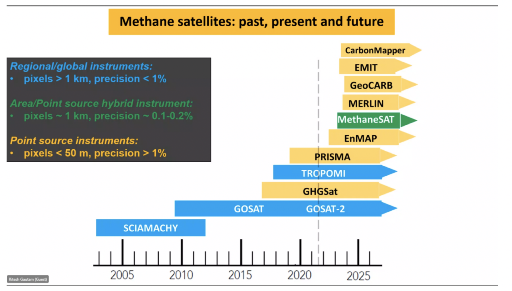
Satellite instruments for observation of methane in the shortwave infraredA wavelength just greater than that of the red end of the visible light spectrum but less than that of microwaves. Infrared radiationhas a wavelength from about 800nm to 1… Learn more… (SWIR). Area flux mappers are designed to quantify total methane emissions on regional to global scales. Point source imagers are designed to quantify emissions from individual point sources by imaging the atmospheric plumes.
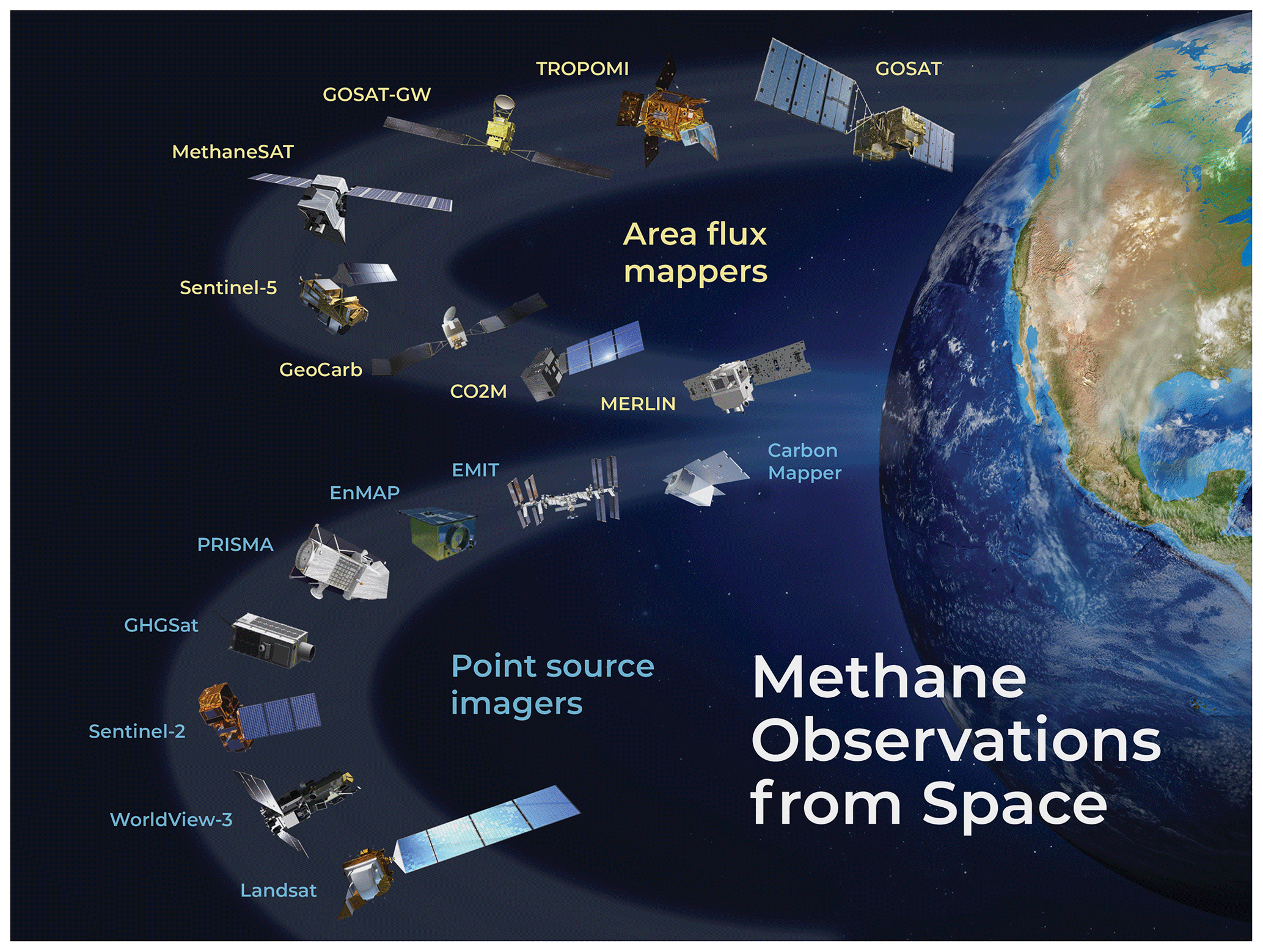
Figure 1