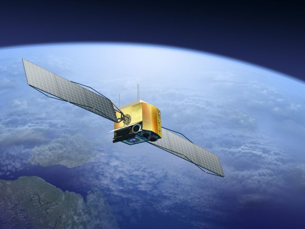
Satellite monitoringRemote sensing using satellite technology is emerging as a powerful tool for investigating methane emissions of all kinds. Where a large number of flares are operated over wide or inaccessible… Learn more… can be used to monitor for flares with anomalous methane emissions. Separate toolkit entries cover the use of satellites for identifying a flare with a performance issue.
Where there is adequate separation between flares relative to the spatial resolution of the satellite it is possible to measure methane emissions and derive efficiency estimates. However, at the current state-of-the art the limits of detection, resolution and accuracy of measurements mean that when measuring methane from flares (using instruments such as hyperspectral imagery) the majority of this capability is currently directed towards the challenge of identifying a flare that has a performance issue, rather than the more complex measurement of measuring destruction efficiency. Measuring efficiency also requires high accuracy measurements of CO2 and/or data on flare volumes from the operator.
In addition to satellite operators, there are a growing number of service organisations that will process publicly available or privately sourced data and use analytics to give insights to an operator.
Advantages
Global coverage provides an overview of changes in flaring
Measurements are potentially independent of operator
Limitations
Validated measurement of efficiency by dual high resolution CH4/CO2 measurements is not currently commercially available
Multi-spectral imaging is dependent upon daylight and cloud-free cover for the location of interest
Quantification is dependent upon additional information, such as wind speed and flow data. Flow data is only available to the operator.
The relatively low resolution of current systems means that individual flares cannot always be differentiated when closely located
Measurements conducted over water, ice or snow are subject to light reflection, which impairs data accuracy. Work is ongoing to develop specialised ‘glint mode’ analytics to provide improved data over water
Case study
No case studies currently available